GDMBR Section 3 Colter Bay, GrandTetons to Rawlins, Wyoming via the Great Basin
This section sees a fascinating transition from the alpine backdrop of the Grand Tetons through the wooded yet wild Union pass, overlooking the remote Wind River mountain range, to a vast scrubby desert of the Great Basin, and finishes in the arid and run-down town of Rawlins. Once Rawlins was reached, for us we were just over halfway to Mexico in terms of days cycling: Pinedale was pretty much the halfway point, surprisingly when you look at a map of the USA. It’s only from Rawlins that the GDMBR takes a beeline southwards – until then it had been meandering in a south-easterly direction. The Great Basin for many, and certainly ourselves, was viewed with some trepidation due to the lack of water and remoteness. In the end, we found the going fine, as it’s quite flat, and the water no huge issue thanks to the well-placed, but wild/rough camping spots. There was only the odd very occasional pickup truck passing, so it’s not without some risk eg if your bike breaks/accident, and we were glad to cross as a threesome with Bruce.
Day 25 GDMBR 26 August 2022 -Colter Bay to Lava Mountain Lodge via Togwottee pass
54 Miles 3625 ft ascent
A mildly eventfull day, being caught in a thunderstorm on the Togwotee pass, first sheltering under a tree off the road then in the toilets at the top of the pass with the other cyclists caught at the same time! The route follows a gorgeous valley with a few posh holiday ranch places then gradually climbs over the pass- first on good gravel then on dried mud before finally going over the pass on paved road. The rain turned the off-road down hill from the pas to a quagmire. A small group: oursleves, a very fit pair and another guy all sheltered at the toilet block for a while then hurteled down the road, galdly finding the Lava Mountain Lodge. this was miles better than the campsite we had planned to stop at nearby. We camped in its back yard and the others got a cabin. Hot chocolate at the bar, but for some reason we cooked noodles instead of getting a bar meal!
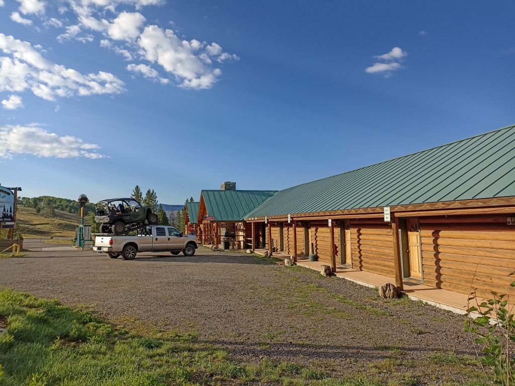
Lava Mountian Lodge, with someone who knows how to carry a ATV!
Day 26 GDMBR 27 August 2022 – Lava Mountain Lodge to Whisky Grove camp, via Union Pass.
50 miles 3600 ft ascent
This section goes over another infamous part of the great divide, perhaps because of bad weather risk and relative remoteness. It goes over the mountains south of the Wind River valley over to the top of the Green River valley just before Pinedale, which is one of the main tributaries of the mighty Colorado, It’s very hilly, with endless false summits, and really is two passes, not one. We didn’t do ourselves a favour by misreading out maps/sat nav route. Didn’t get lost, just failed to pay attention to the contours and distances, so when we got to the top of the first pass, we thought we had cracked it, but we were less than halfway!
At the end, we couldn’t find the whisky grove campground as it’s marked wrongly on the ACA paper map. We set up camp by a bridge on the Green River, and got a beer from some day-trippers in a pickup, only for the pair we met on Togwotte pass to cycle by and tell us the campsite was just round the corner out of sight, on the other side of the river. So we up-sticks and moved on. Not the best map reading day! To top it all Jane fell into the river getting water to cook with!
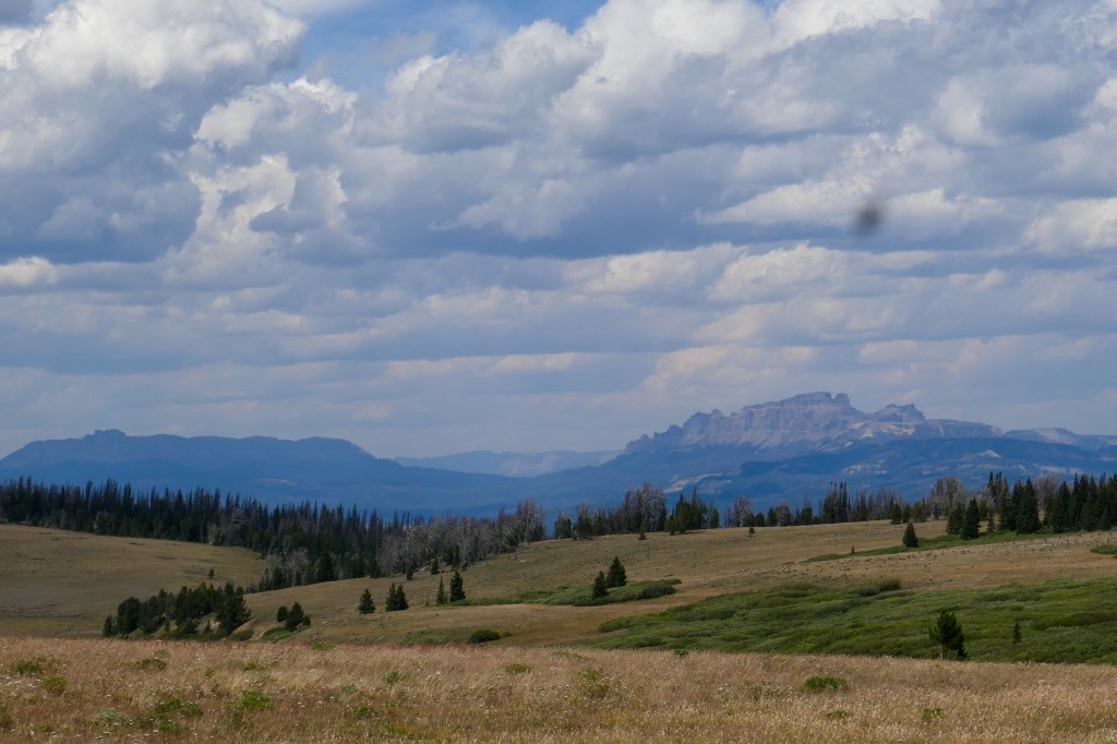
Looking back towards the top of the Wind River valley with Togwotee Pass behind, from near the top of Union Pass. The latter is more of a group of ridges with not much of a defined summit, and much wilder than it looks as it’s pretty high.
The Togwotte/Union Pass area is quite a special watershed in the whole of the USA. West from Togwottee Pass is the top of the Snake River that heads off to Portland and the Pacific. East of the pass is the Wind River that eventually ( after going north via Yellowstone) finds the Mississippi and New Orleans. Finally, heading south over the Union pass is the top of the Green River whose water finds its way to the Grand Canyon and beyond. So within a few miles, the water heads off to the Pacific, the Atlantic, and to the Mexican border.
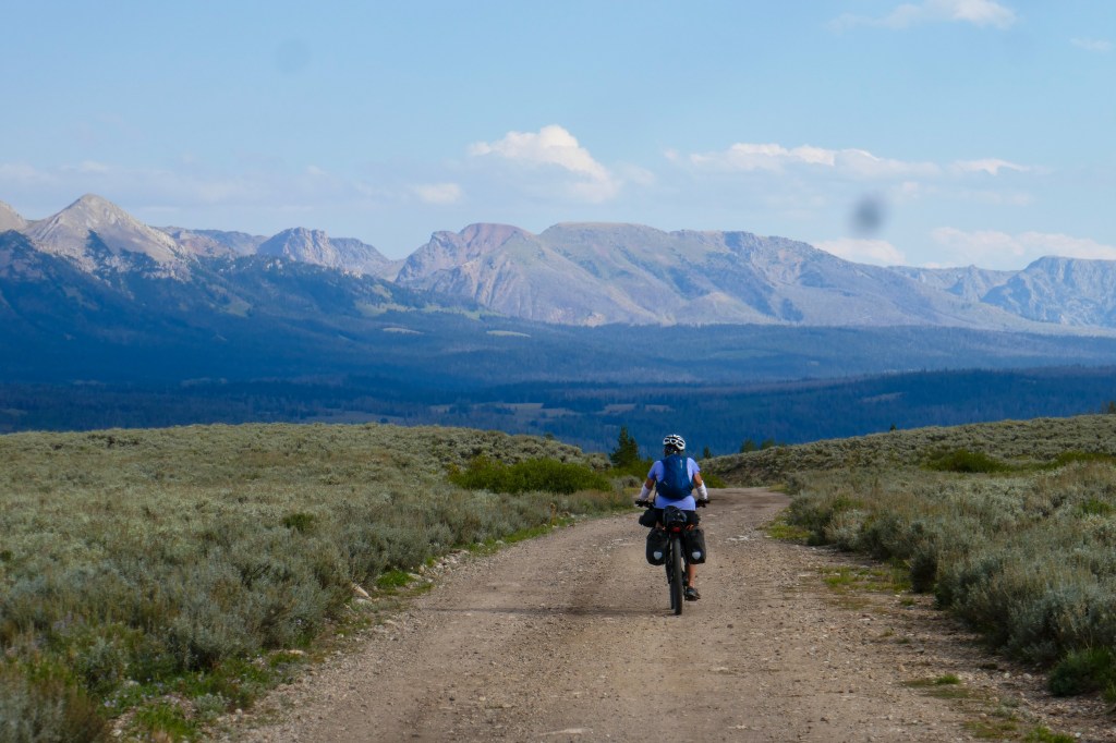
Nearing the upper Green River valley, south of Union pass, with the Wind River mountains behind.

The USA river systems, with the continental divide drawn in approximately, and x is roughly where Togwotee/Union passes are.

Sadly, we didnt take the track to Kinky Creek and chose Whisky Grove instead!
Day 27 GDMBR 28 August 2022 – Whisky Grove to Pinedale, Wyoming.
35 miles 700 ft ascent, 1200ft descent.
Easy half-day zooming down a mix of paved and gravel roads through farmland to Pinedale, which was the first decent town since Butte, Montana. Quite a small place but with good hotels, outdoor shops, and restaurants, even a brewery, due to its proximity to the wild Wind River mountains.
We dropped out bikes off at the bike shop for new rear tires, and pads, plus bought a T-shirt with the shop’s name on it! Stocked up ahead of the near waterless “Basin” section: cages for Janes front forks, and better water filter bags, by Hydrapack as the Sawyer ones were breaking on everyone. This proved a great move!
Met up with Bruce again at the motel, he had sensibly waited a day for us to catch up so we could all cross the Basin to Rawlins together. We even had time to go to the local Museum- a bit disappointing but good history of the Mountain Men, ie the earliest trappers who explored the area before the wild west/main migration and who seemed to work with the Indians rather than against them. Treated ourselves to Burger and chips at the brewery!
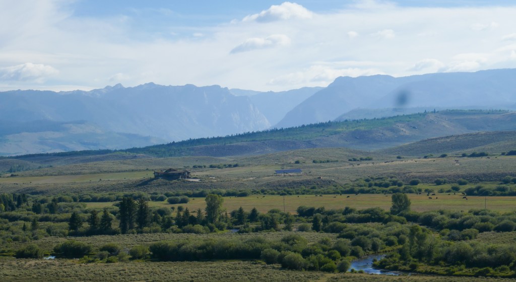
The upper Green River valley
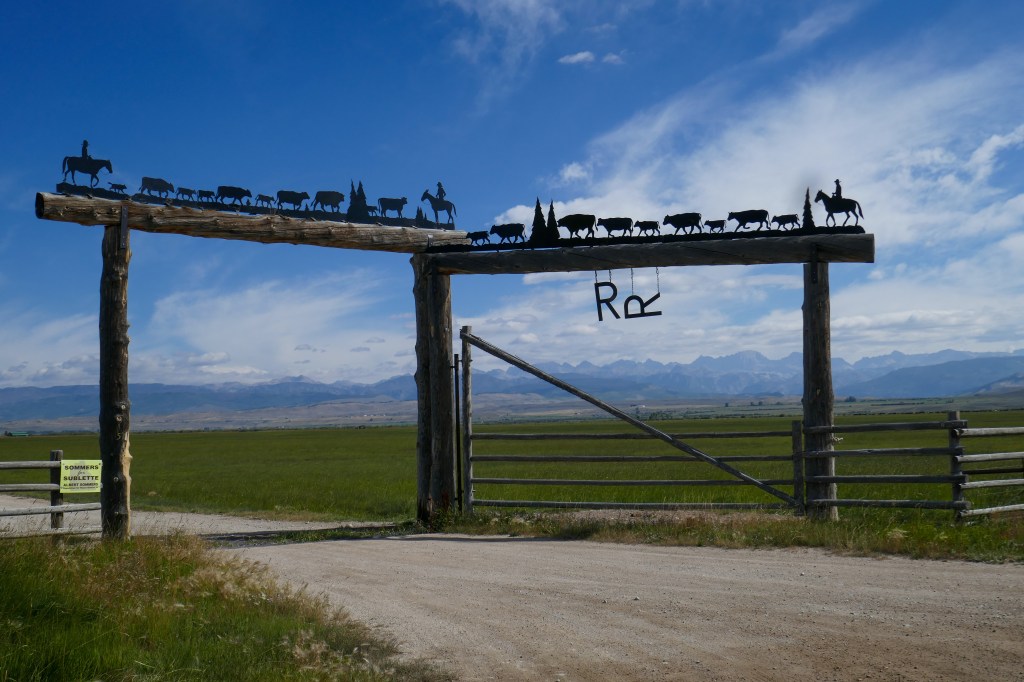
Fancy Range gate near Pinedale
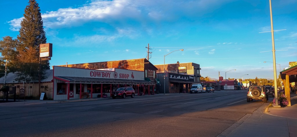
Pinedale Main st
Day 28 GDMBR 29 August 2022 – Pinedale Wyoming to Lander Creek wild camp.
53 miles 2075 ft ascent
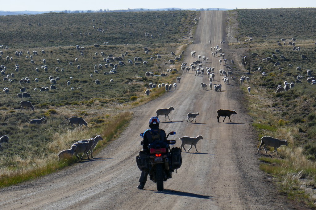
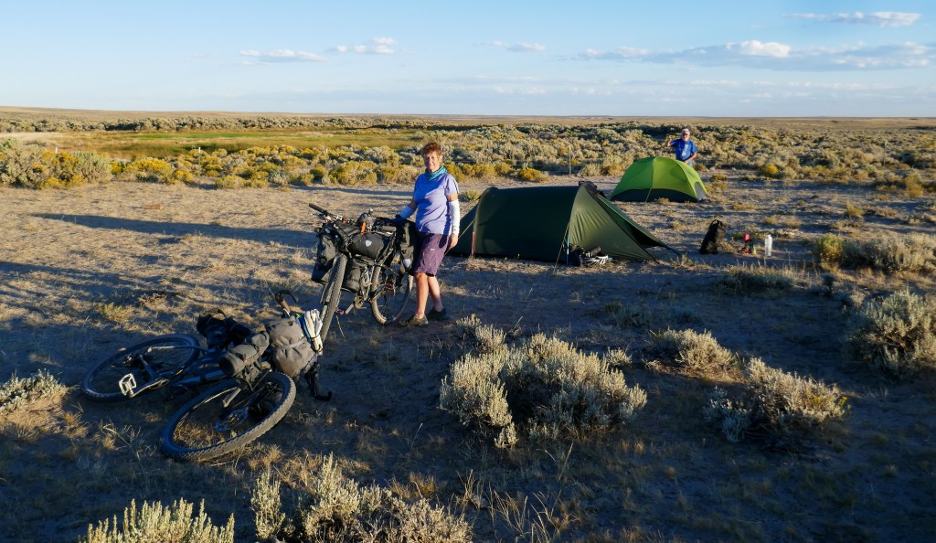
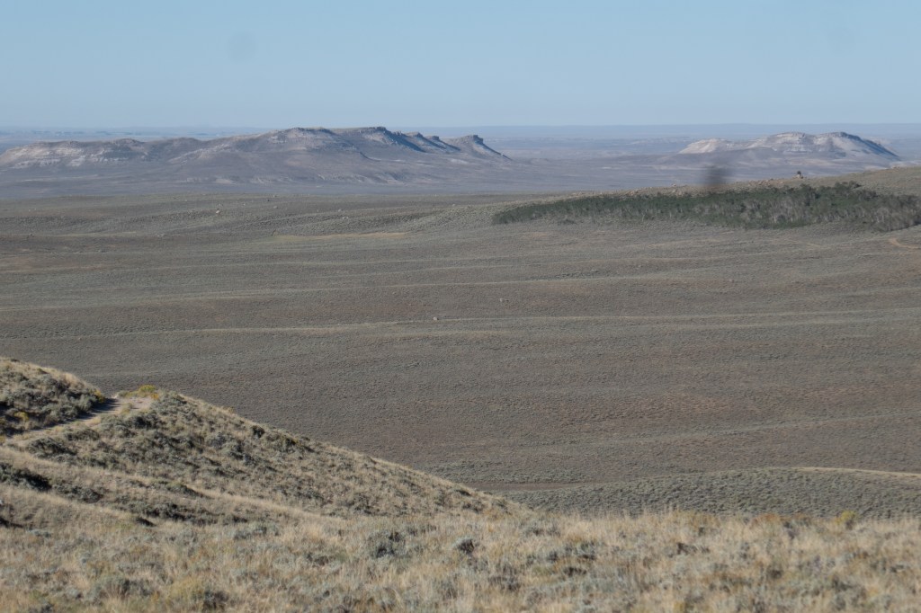
First day heading off towards the Basin, a dry sage desert that sits between the main northern block of mountains that we had been following so far and the colorado mountains in the middle of the route. The further east, the drier it gets so we were paranoid about finding water to camp. The guidebook mentions Big Sandy and Little sandy: the first was a decent river but a grubby bridge by the road, and little sandy, I think had signs for no camping, and a small stream. A little further, Lander creek on the map, proved to be one of the best campsites of the whole trip: a small stream creating a ribbon of green between towering granite blocks, situated right on the old Oregon wagon trail route to the pacific from wild west days, and full of deer and pronghorns. You could really imagine wagon trains pitching up here, thankful for the water, the shelter, and lookpout posts provided by the rocks.
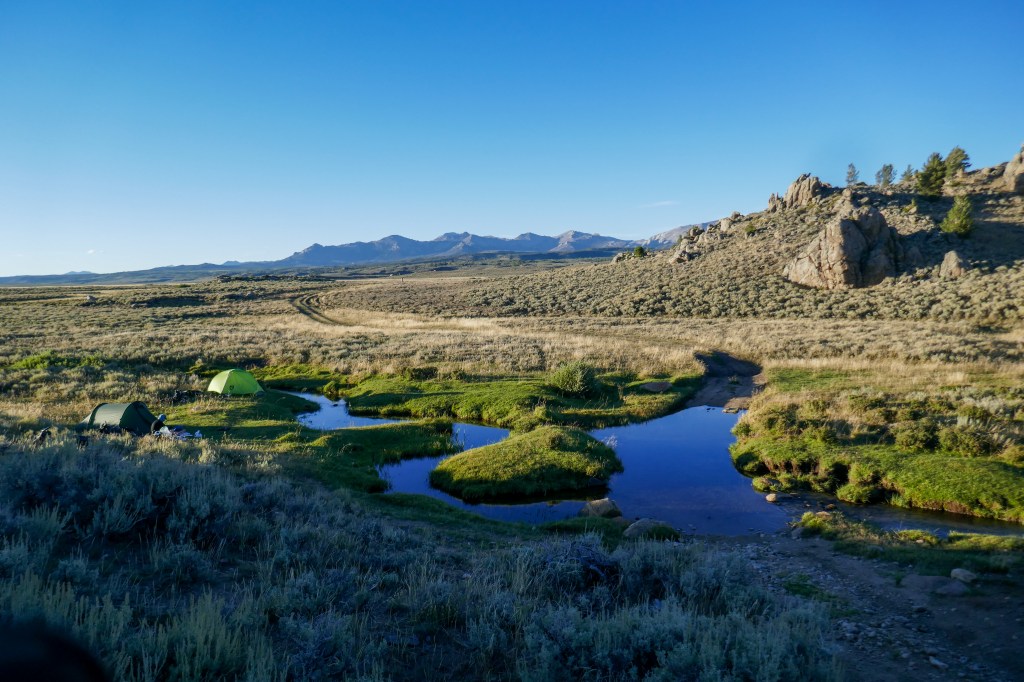
Lander Creek
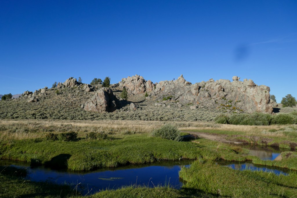
You can just see Jane on top of the rocks!
The old historic Oregon trail
Day 29 GDMBR 30 August 2022 Lander Creek to a tiny stand pipe in the Basin
54 Miles 2500ft ascent
An interesting day, the terrain getting drier and more remote all the way. The route follows the old Oregon wagon train to South Pass and Atlantic City before heading into the Great Basin. South Pass is a ghost town/derelict mine and Attantic “City” is a tiny, rough settlement that has barely progressed since the days of Calamity Jane. The destination, not too far after the start of the Basin proper at the Sweetwater River crossing, is a tiny standpipe that comes out of a fenced-off muddy patch of grass and weeds and is found 200m south of a small cairn on the track. If we missed it, it would have been another 50 miles + to the next water!
On the way into Atlantic City my brakes totally failed but fixed them outside the bar. The pads had sheared off! We stopped at a saloon bar in Atlantic City called the Mercantile and were served in silence by a gaunt, almost toothless barman, which added to the wild west ambience but the food was good! One of the punters shows us marks on the wall he claimed were bullet holes. ..On the way out of town, we tried to get directions/advice at the only store- a bike-friendly shop selling Guns n Ammo and providing a sewage-sucking service!
Atlantic City is a popular place to stop but we carried on to camp, on dusty sage bush-strewn desert next to this tiny pipe. Not far out of Atlantic City was Sweetwater River where we filled up all our bottles and water bladders, and carried loads to the campground just in case, but the water there was fine if filtered.
On the Lander Cut off road between Pinedale and Atlantic City
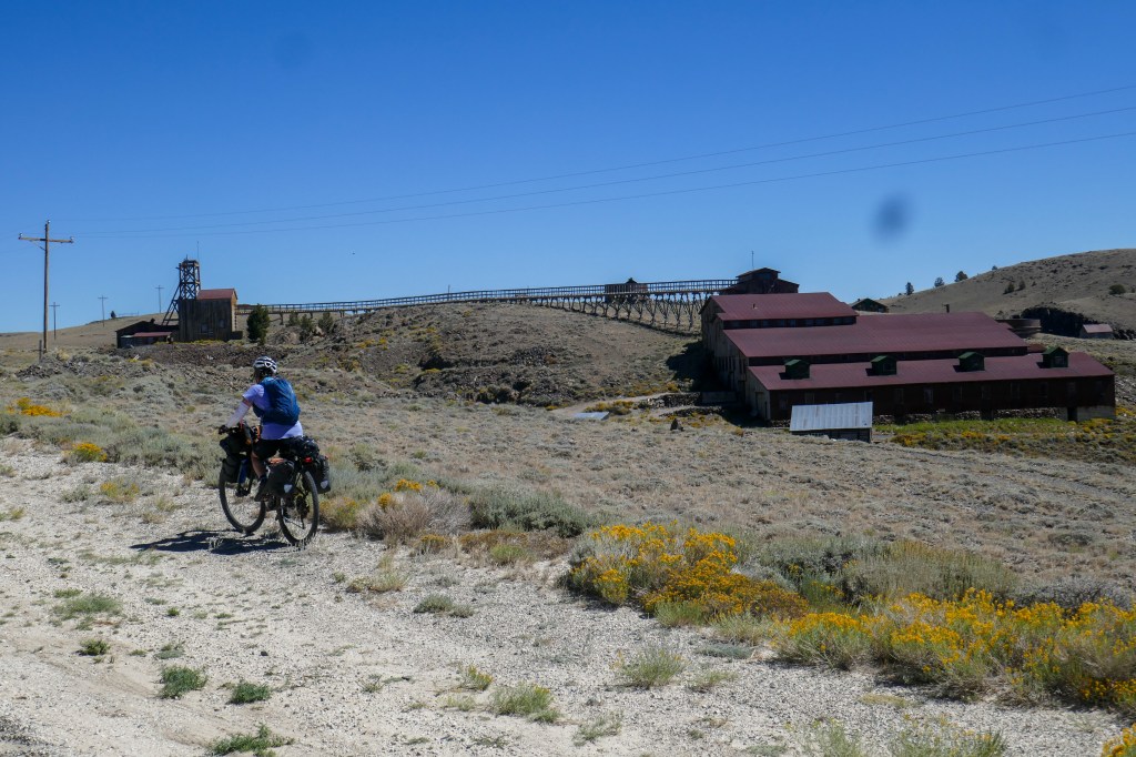
Old mine at South Pass- closed just after WW2 and just left there!
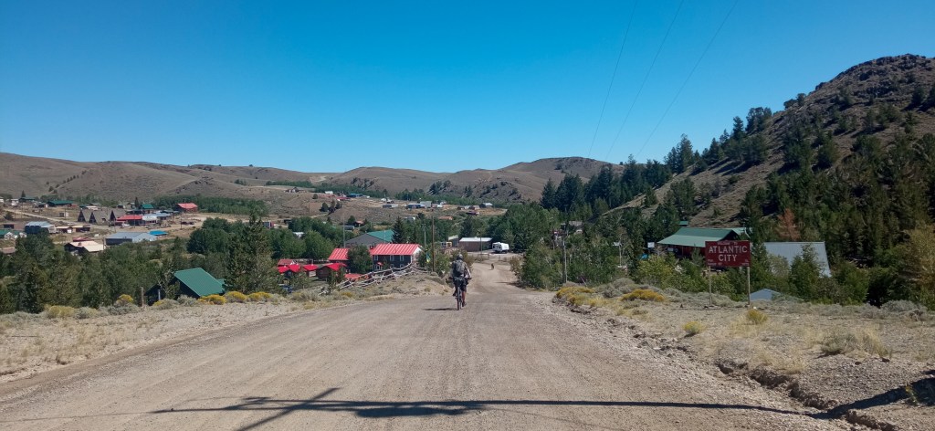
Atlantic City
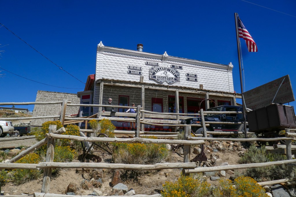
The Mercantile saloon in Atlantic City
Day 30 GDMBR 31 August 2022 – Stand Pipe to A&M Reservoir
Approx 50 miles 1800 ft ascent
Gently rolling hills, completely waterless terrain, passing an oil well with several “nodding donkey” pumps and an abandoned ranching station along the way, nothing else for around 100 miles. Probably similar to cycling on the moon in 200 years! We had a fair bit of time to spare at the reservoir which also serves as a trout facility of some sort. We all had a swim and enjoyed relative comfort with a good feeling that we could easily make Rawlins the next day. Late in the day, a very fit Divide walker pitched up looking fresh as a daisy so we chatted with him for a while- I think he had some camping support from someone from Rawlins who came out to set up camp for him as the sun set beautifully over the water.
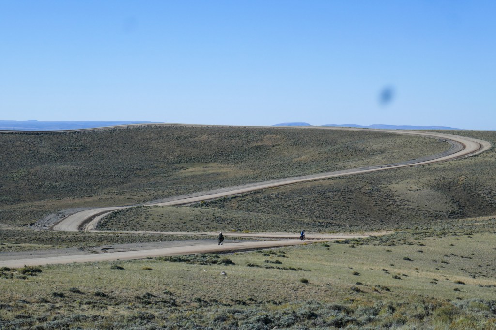
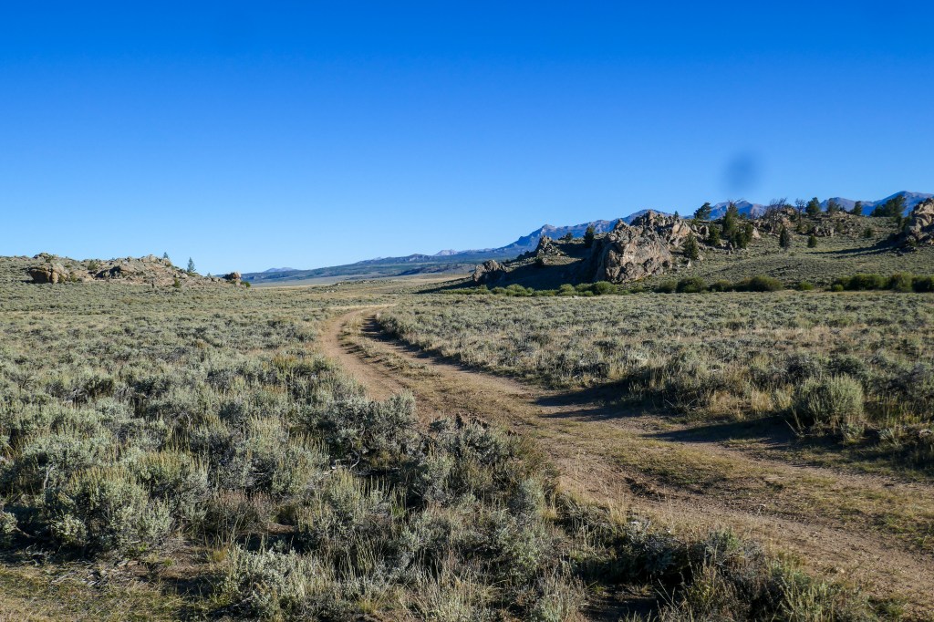
A rare bend in the Basin
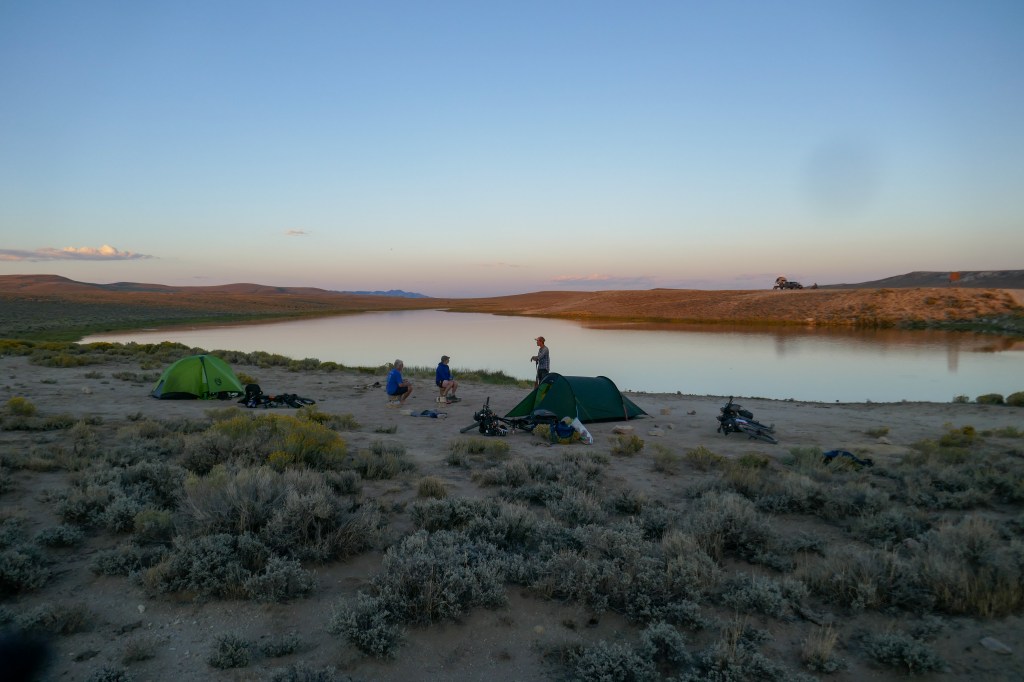
At the A&M Reservoir
Day 31 GDMBR 1st September 2022 A&M Reservoir to Rawlins
56 Miles 1125 ft ascent
Fast and easier day out to Rawlins and the end of another main section of the route. c.1/3 on gravel getting out of the Basin, then c.1/3 on a long barely used road, built for mine exploration/maintenance and the final section on paved main road.
We were looking forward to some good food but the recommended Pennys diner on the way into town was closed so we ended up in Pizza hut and later on Macdonalds! Didn’t find a KFC to complete the trio… The motel we stayed in, First Choice, was the cheapest but had probably the most helpful receptionist of any on the whole trip! The motel had a resident on benefits, which seems quite common in the USA, who was sitting on the steps to the entrance with her dog. We still had a pile of pizza from Pizza Hut so we gave it to her and the dog had a treat! I cycled into the town centre to check out anything different but it was quite deserted and run down.
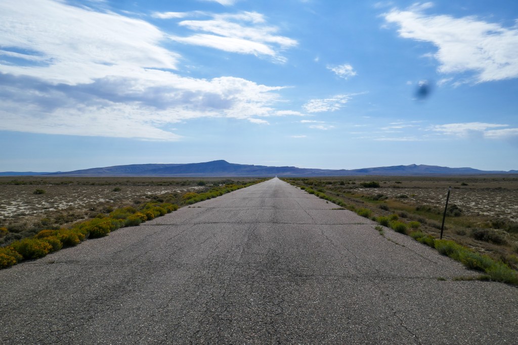
The exploration road out of the Basin
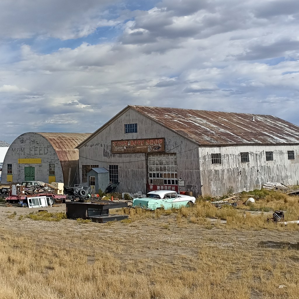
Car repair shop, Rawlins
- Jasper to Banff via Icefield Parkway
- Banff to Eureka, USA Border
- Eureka, USA Border, to Helena, Montana capital
- Helena, Montana to Colter Bay, Grand Tetons
- Colter Bay, Grand Tetons to Rawlins, Wyoming via Grand Basin
- Rawlins, Wyoming, to Salida, Colorado
- Salida, Colorado to Grants, New Mexico
- Grants, New Mexico to the Border via the Gila Wilderness
